Home
Search
Browse Collections
My Account
About
Digital Commons Network™
Skip to main content
Academic Commons
Home
About
FAQ
My Account
University Libraries
Home
>
CULTURALHERITAGE
>
Maps and Aerials
>
LONG-ISLAND-COASTAL-MAPS-COLLECTION
Long Island Coastal Maps Collection
Printing is not supported at the primary Gallery Thumbnail page. Please first navigate to a specific Image before printing.
Follow
Switch View to List
View Slideshow
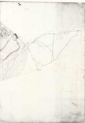
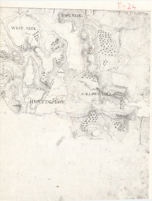
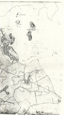
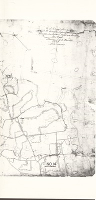
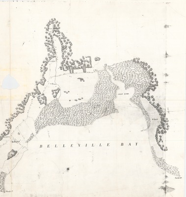
Hewlett's Cove, Wilkins Point, and Great Bay, Part 2 [Reg. No. 14] - United States Coast Survey
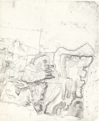
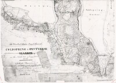
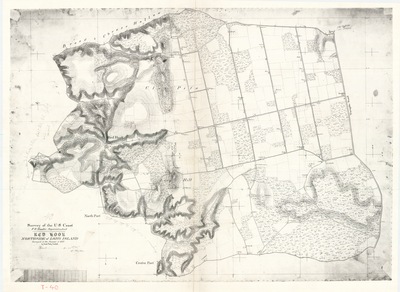
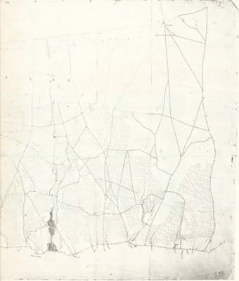
Cold Spring and Oyster Bay Harbors, North Shore of Long Island, New York [Reg. No. 23] - United States Coast Survey
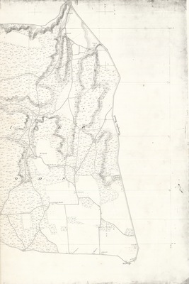
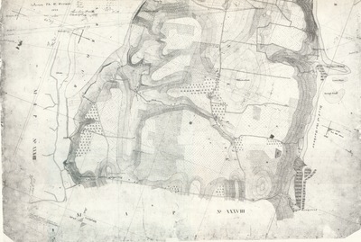
Map of the South Coast of Long Island between Patchogue and Smith Point [Reg. No. 2] - United States Coast Survey
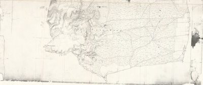
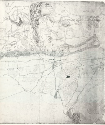
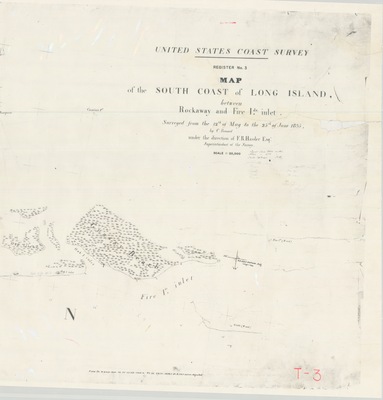
South Coast of Long Island, between Rockaway and Fire Island Inlet [Reg. No. 3] - United States Coast Survey
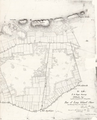
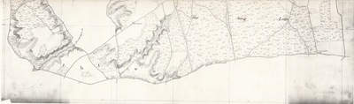
South Coast of Long Island between the Pavilion of Rockaway and the Plum-gut [Reg. No. 4] - United States Coast Survey
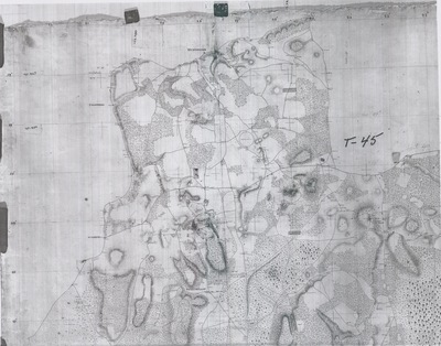
From Babylon to Patchogue, New York, Part 1 [Reg. No. 1] - United States Coast Survey
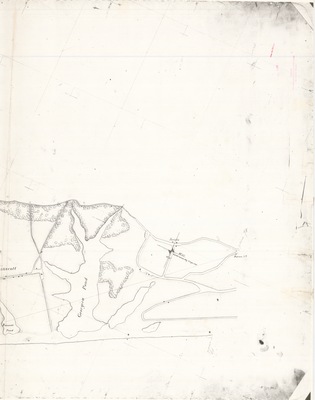
From Babylon to Patchogue, New York, Part 2 [Reg. No. 1] - United States Coast Survey
From Babylon to Patchogue, New York, Part 3 [Reg. No. 1] - United States Coast Survey
1
2
3
4
Browse
Collections
Journals and Peer-Reviewed Series
Open Educational Resources (OER)
Electronic Dissertations and Theses
Disciplines
Authors
Search
Enter search terms:
Select context to search:
in this collection
in this repository
across all repositories
Advanced Search
Notify me via email or
RSS
Author Corner
Author FAQ
Content Submission Policy
Gallery Locations
View gallery on map
View gallery in Google Earth