Home > CULTURALHERITAGE > Maps and Aerials > LONG-ISLAND-COASTAL-MAPS-COLLECTION
Follow
Advanced Search

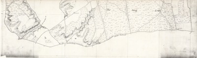
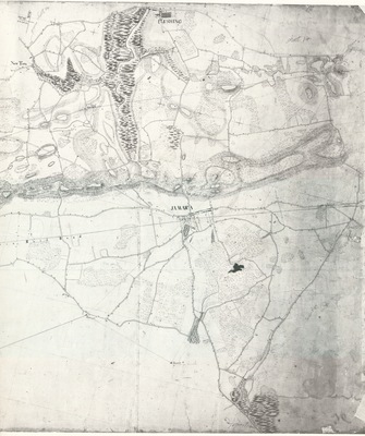
![Part of Long Island from Riverhead to the Sound [Reg. No. 53] - United States Coast Survey by F.H. Gerdes](https://commons.library.stonybrook.edu/long-island-coastal-maps-collection/1023/thumbnail.jpg "Part of Long Island from Riverhead to the Sound [Reg. No. 53] - United States Coast Survey by F.H. Gerdes")
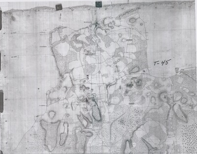
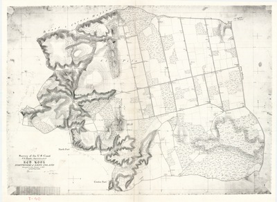
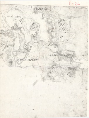
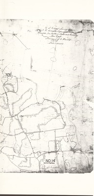
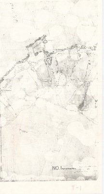
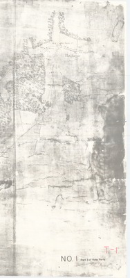
![Part of the Interior of Long Island [Eastern] [Reg. No. 45] - United States Coast Survey by F.R. Hassler and H.L. Dickins](https://commons.library.stonybrook.edu/long-island-coastal-maps-collection/1025/thumbnail.jpg "Part of the Interior of Long Island [Eastern] [Reg. No. 45] - United States Coast Survey by F.R. Hassler and H.L. Dickins")
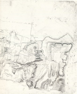
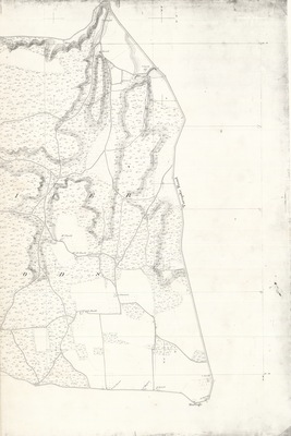
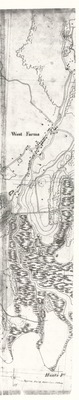
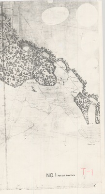
![Part of the Interior of Long Island [Western][Reg. No. 45] - United States Coast Survey by F.R. Hassler and H.L. Dickins](https://commons.library.stonybrook.edu/long-island-coastal-maps-collection/1024/thumbnail.jpg "Part of the Interior of Long Island [Western][Reg. No. 45] - United States Coast Survey by F.R. Hassler and H.L. Dickins")
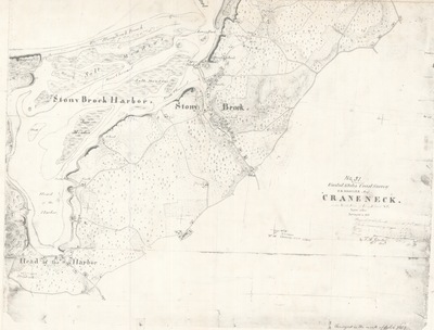
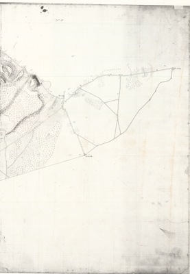
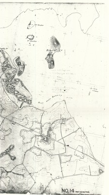
![From Good Ground to East Hampton New York [Reg. No. 59] - United States Coast Survey by F. R. Hassler and C. Renard](https://commons.library.stonybrook.edu/long-island-coastal-maps-collection/1003/thumbnail.jpg "From Good Ground to East Hampton New York [Reg. No. 59] - United States Coast Survey by F. R. Hassler and C. Renard")
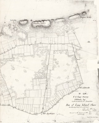
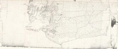
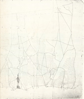
![Part of Lond Island from Old Landing to Cooperhills on the Sound [Reg. No. 54] - United States Coast Survey by F.R. Hassler and C. Renard](https://commons.library.stonybrook.edu/long-island-coastal-maps-collection/1022/thumbnail.jpg "Part of Lond Island from Old Landing to Cooperhills on the Sound [Reg. No. 54] - United States Coast Survey by F.R. Hassler and C. Renard")
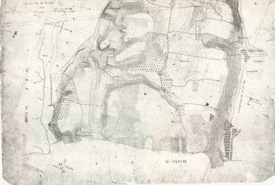
![Buckram North Side of Long Island [Reg. No. 39] - United States Coast Survey by F.R. Hassler](https://commons.library.stonybrook.edu/long-island-coastal-maps-collection/1029/thumbnail.jpg "Buckram North Side of Long Island [Reg. No. 39] - United States Coast Survey by F.R. Hassler")
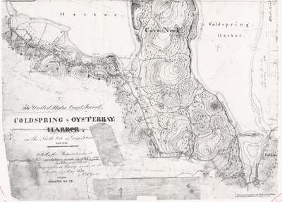
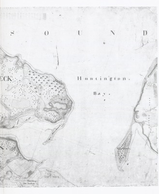
![Cold Spring and Oyster Bay Harbor on the North Side of Long Island, N.Y. [Reg. No. 25] - United States Coast Survey by F.R. Hassler, Edmund Blunt, and F.H. Gerdes](https://commons.library.stonybrook.edu/long-island-coastal-maps-collection/1011/thumbnail.jpg "Cold Spring and Oyster Bay Harbor on the North Side of Long Island, N.Y. [Reg. No. 25] - United States Coast Survey by F.R. Hassler, Edmund Blunt, and F.H. Gerdes")
![Mattinicock Point on the North Side of Long Island [Reg. No. 26] - United States Coast Survey by F.R. Hassler, Edmund Blunt, and F.H. Gerdes](https://commons.library.stonybrook.edu/long-island-coastal-maps-collection/1010/thumbnail.jpg "Mattinicock Point on the North Side of Long Island [Reg. No. 26] - United States Coast Survey by F.R. Hassler, Edmund Blunt, and F.H. Gerdes")