Home > CULTURALHERITAGE > Maps and Aerials > LONG-ISLAND-COASTAL-MAPS-COLLECTION
Follow
Advanced Search

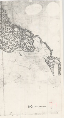
![From Hewlets to Jamaica & Hicksville [Reg. No. 38] - United States Coast Survey by F.R. Hassler and T.A. Jenkins](https://commons.library.stonybrook.edu/long-island-coastal-maps-collection/1030/thumbnail.jpg "From Hewlets to Jamaica & Hicksville [Reg. No. 38] - United States Coast Survey by F.R. Hassler and T.A. Jenkins")
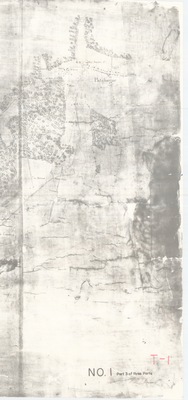
![Hicksville and Jamaica, Brushville and Miltham, New York [Reg. No. 37] - United States Coast Survey by F.R. Hassler and T.A. Jenkins](https://commons.library.stonybrook.edu/long-island-coastal-maps-collection/1031/thumbnail.jpg "Hicksville and Jamaica, Brushville and Miltham, New York [Reg. No. 37] - United States Coast Survey by F.R. Hassler and T.A. Jenkins")
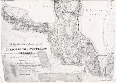
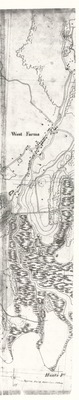
![Map No. 34 Part of the North Shore of Long Island [Cold Spring to Glen Cove] - United States Coast Survey by F.R. Hassler and T.A. Jenkins](https://commons.library.stonybrook.edu/long-island-coastal-maps-collection/1033/thumbnail.jpg "Map No. 34 Part of the North Shore of Long Island [Cold Spring to Glen Cove] - United States Coast Survey by F.R. Hassler and T.A. Jenkins")
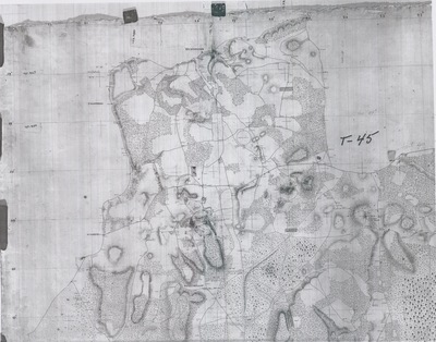
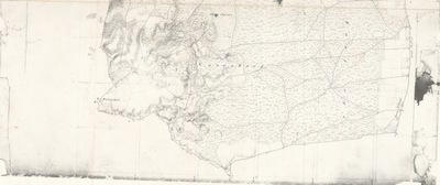
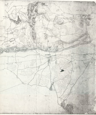
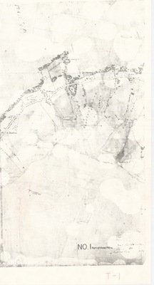
![Map of the Interior of Long Island From Brooklyn to Jamaica, New York [Reg. No. 36] - United States Coast Survey by F.R. Hassler and T.A. Jenkins](https://commons.library.stonybrook.edu/long-island-coastal-maps-collection/1032/thumbnail.jpg "Map of the Interior of Long Island From Brooklyn to Jamaica, New York [Reg. No. 36] - United States Coast Survey by F.R. Hassler and T.A. Jenkins")
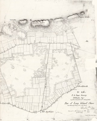
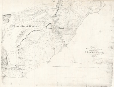
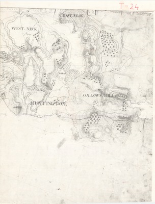
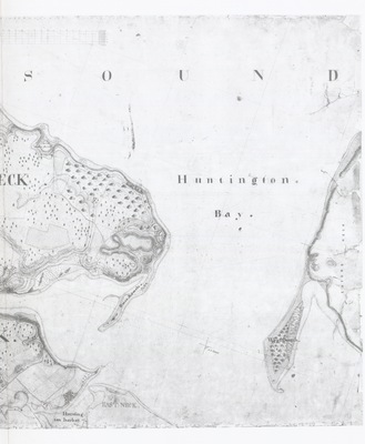
![Harbor and Village of Huntington, North Shore of Long Island [Reg. No. 24] - United States Coast Survey by F.R. Hassler, A.S. Mackayand, and F.H. Gerdes](https://commons.library.stonybrook.edu/long-island-coastal-maps-collection/1012/thumbnail.jpg "Harbor and Village of Huntington, North Shore of Long Island [Reg. No. 24] - United States Coast Survey by F.R. Hassler, A.S. Mackayand, and F.H. Gerdes")
![Harlem River and Throg's Neck New York, Part 1 [Reg. No. 15] - United States Coast Survey by F.R. Hassler and C. Renard](https://commons.library.stonybrook.edu/long-island-coastal-maps-collection/1019/thumbnail.jpg "Harlem River and Throg's Neck New York, Part 1 [Reg. No. 15] - United States Coast Survey by F.R. Hassler and C. Renard")
![Harlem River and Throg's Neck New York, Part 2 [Reg. No. 15] - United States Coast Survey by F.R. Hassler and C. Renard](https://commons.library.stonybrook.edu/long-island-coastal-maps-collection/1018/thumbnail.jpg "Harlem River and Throg's Neck New York, Part 2 [Reg. No. 15] - United States Coast Survey by F.R. Hassler and C. Renard")
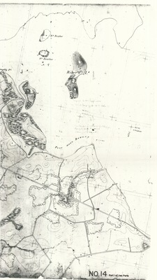
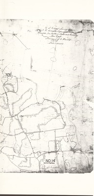
![Hewlett's Cove, Wilkins Point, and Great Bay, Part 1 [Reg. No. 14] - United States Coast Survey by F.R. Hassler and C. Renard](https://commons.library.stonybrook.edu/long-island-coastal-maps-collection/1021/thumbnail.jpg "Hewlett's Cove, Wilkins Point, and Great Bay, Part 1 [Reg. No. 14] - United States Coast Survey by F.R. Hassler and C. Renard")